Site
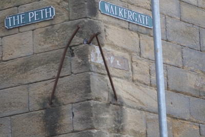
Walkergate

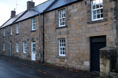
Tate: Walkergate - the street of the walkers or fullers - though beyond the walls, was within the borough. It runs parallel with the Aln, to which the lands of the burgage holders extended, and on which they had their fulling mills ; the haugh land on the river side appears indeed to have been enjoyed as a public common. This street was probably in existence in 1290, when there was a fuller in the borough ; but it is mentioned in the survey of 1569; and in 1709 there were twenty burgages in it, belonging to fourteen different owners ; now, all save one belong to the Duke of Northumberland ; most of them have been pulled down, but the remains of St. Mary's Chantry are carefully preserved.
Walkergate,to the northofBailiffgate, is certainly a medieval streetand part of the borough town. The late-medieval St Mary‟s Chantry House lies along its north side(HER 4498). Mayson‟s 1622 plan of the town shows it with occupied property rows, similar to those in Bailiffgate, and Clarkson‟ssurveyof 1567 divides the street into burgage properties.Later changes,including demolition, enclosure, encroachment ofthe castle‟s parkland and consequent depopulation, have made physical reconstruction of the medieval pattern difficult.The street liestowards the river, its namederivedfrom the presence of walkor fullingmillsby the waterside, used for removing grease from untreated cloth.Maysonshows the river artificially braided presumably to supply water to the tail of properties towards the east of the streetandindicating where mills were located.