Site
Bailiffgate
Davison: BAILIFFGATE STREET This street which is very wide and well built is situated on the north side of the town and extends from the castle in a direction towards the west The old gate was removed a number of years ago Formerly a cross stood in front of the castle where probably the market or some other public meeting had been held At the east end of this street is the castle and at the west end the church About the middle of the street on the north side there is a neat Roman Catholic Chapel belonging to the society of Jesuits Bailiffgate Street is the entrance of the town from the north and joins Narrowgate Street
Tate: Bailiffgate, properly Baileygate - the street of the bailey - extends westward from the castle, and was beyond the walls of the town. We have Bellygate in 1653, and so the name is now popularly pronounced; Baylygate appears in 1668 and 1683; and Bailiffgate in 1680, 1694, and 1709. In the last century a row of old houses crossed this street, at a little distance from the castle ; a cross stood in front of the square, around it was held a market for country produce, such as butter and eggs, and attached to it were stocks, which the inhabitants were compelled to maintain. The Red Lion Inn, which still exists, is referred to in 1710. On the north side of the street is the Catholic Chapel, and at the end of it is St. Michael's Church. In this street were the Mute Hall, the earl of Derwentwater's Slate House, and Fardie's wells, which belonged to the same earl, and near to it Salisbury Land.
Urban Survey
Tate suggests that at one time there was another bailey outside the walls of the castle to the west allowing more space for military exercises and that Bailiffgate and part of Narrowgate occupied this space (Tate 1866,135).There appears to be no foundation for this idea. Conzen(1969,21-2)argues that Bailiffgate was a Norman plantation, closely related to the castle and its military and administrative functions and under the immediate jurisdiction of the baron, citing post-medieval tenurial evidence in support of this. Alnwick's parish church of St Michael, which has origins at least in the 12th century, lies towards the west end and on the north side of Bailiffgate. It is also possible (although considered unlikely by Conzen) that the origin of the settlement at Bailiffgate was as a pre-Conquest nucleus which was encroached by the castle.
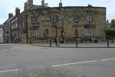
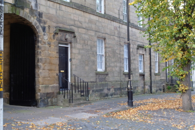
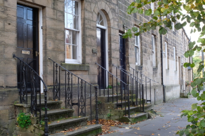
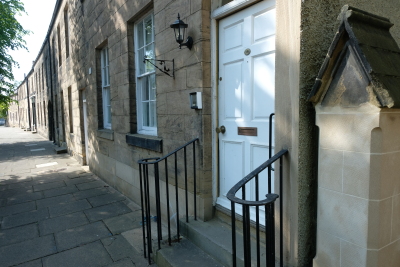
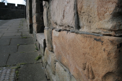
Modern Bailiffgate is a broad, stately street, widening towards the castle, its dimensions certainly suitable for a market place. Over the 18th century, and probably much earlier, Bailiffgate had a market cross. There is row development on either side of the street, with a pattern of fairly short strip-plots behind, almost certainly identifiable as the tenements of Clarkson's 1567 survey and likely to represent the tenements laid out in the medieval period. Many of the 18th and 19th century properties along Bailiffgate are cellared or have basement floors and whilst the properties retain their medieval outlines, these later buildings are likely to have truncated medieval deposits along the street frontage.No archaeological excavation has been carried out in the area.