Site
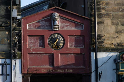
Corn Exchange Lane
The original medieval burgage plot containing the lane was established by Royal Charter between 1157 and 1185. The 1774 map shows a wide, undeveloped burgage strip between Green Batt and the Horse Market, and the map for 1827 indicates buildings fronting onto the Horse Market (now BondgateWithin) with the remainder of the strip still not built-up.
Before 1774 development at the north end of the burgage plot included dwelling houses with shops, with side access to the yard which led from the Horse Market. A narrow building behind the shops and on the west side of the yard is also shown on the 1774 map; during 1995 planning permission was granted for the conversion of this building into three floors of residential flats.
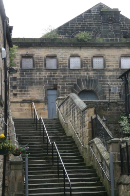
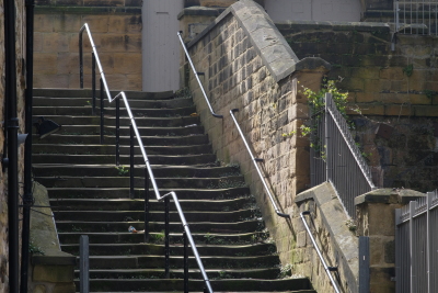
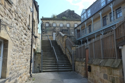
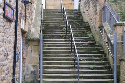
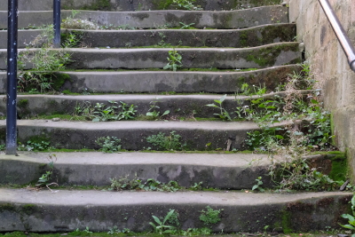
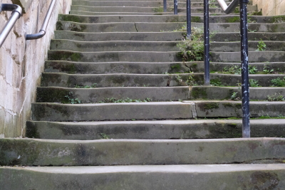
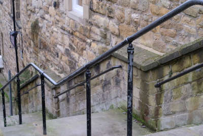
The building of the Corn Exchange in 1862 included the construction of a broad, monumental external stairway giving access to the north entrance of the Exchange and resolving the considerable problem caused by the steep rise in level of the burgage plot. The 1866 Ordnance Survey plan shows this feature clearly.