Site
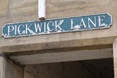
Pickwick Lane
The 1774 map (Figure 7.2) shows no evidence of a Pickwick Lane. The burgage strip seems to have been intact at that time, with no development behind the frontage house apart from its small extension southwards.
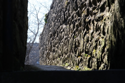
However, by 1827 the lane appears to have been established, running right through to Green Batt, though not in a straight line; it was diverted around three sides of a building, linking with the yard behind the Globe Inn, where a series of flights of steps must have been used to master the severe (some 30ft) change of level.
Thus it remained, and its details may be seen quite clearly on the detailed 1866 Ordnance Survey map, serving as a through route for pedestrians at the back of the buildings along Roxburgh Place. It also served as access to the Piggery. As far as can be seen from the map, it did not give direct access to the Pickwick Brewery, although, presumably, it took its name from the brewery.
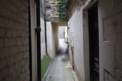
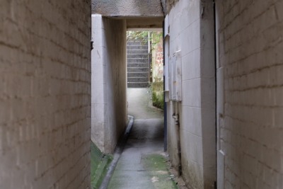
Today, only the most northerly section of the lane remains, and even this has been altered to dispense with the diversion, the intervening building having long since disappeared. Roxburgh Place and the buildings fronting onto it have all gone, being replaced by a modern Government Office, by the Depot for Northern Electric and by a builder's yard and a motor workshop. The main feature now is the unsurfaced public car park and Pickwick Lane's present-day function is to provide pedestrian access from the car park to the town.