Resource
Keys to the past - Allerburn House
Keys to the past
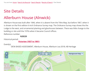
Allerburn House was built after 1846, when it is absent from the Tithe Map, but before 1867, when it is shown on the first edition 6-inch Ordnance Survey map. The Ordnance Survey map shows the the Lodge to the west, and ornamental planting and glasshouses between. There was little change to the building or site until the 1970s when it became Council offices.